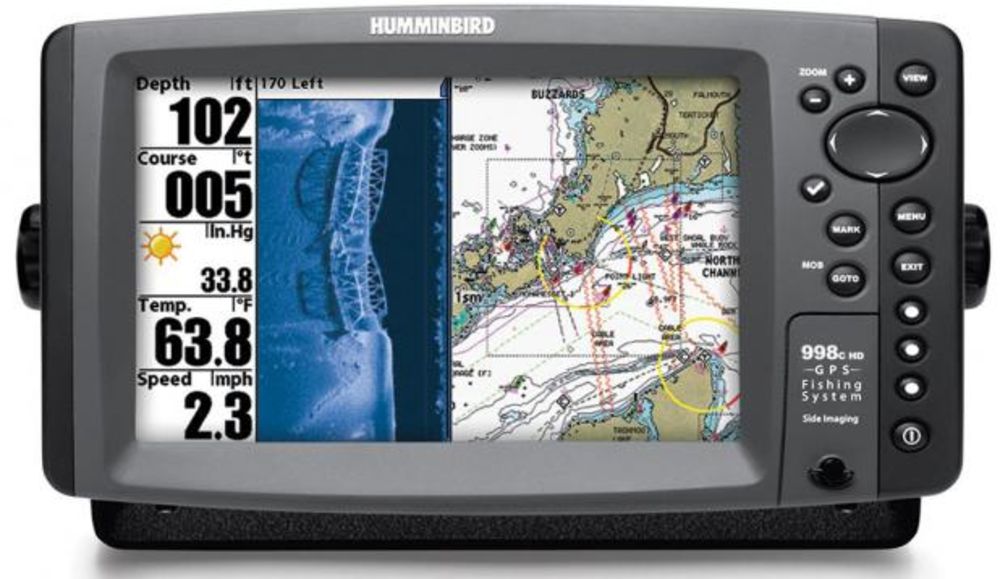
GPS coordinates and fishing information for Lake Belton
The following GPS coordinates are provided for general reference.
THEY ARE NOT TO BE USED FOR NAVIGATION
GPS Waypoints for Lake Belton:
Submitted by David A. McClung
Lake Belton is a typical mountain lake. Most of the lake is in the old Leon River Channel. When navigating bends in the river, stay to the outside of the bend. Points protrude far into the lake from the inside of most bends. The Cowhouse Creek section of the lake is not as constricted by the creek channel. There are shallow areas in both the upper ends of Cowhouse Creek and in the Leon River above the Highway 36 bridge.
GPS Waypoints start at the dam and work up the lake. Each entry starts with Lat/Lon, then waypoint name for the GPS receiver followed by a description of the waypoint. Note that the naming convention used is the first letter of the lake name is the first letter of the waypoint. All points here are named B????? This keeps all of the Lake Belton points together in my receiver. All lake points end in P or PT; all creek entrances, coves, and canyon entrances end in C; and any marinas end in M. Ramps are named BRMP??.
In the vicinity of Lake Belton 1 minute latitude equals about 1.15 statute miles (5280 feet) or 1.01 nautical miles (6000 feet) and 1 minute longitude equals about .99 statute miles or 0.87 nautical miles. Therefore, one tenth of a minute is about 600 feet and one hundreth of a minute is about 60 feet. The points indicated here should be within about 60 feet of actual points on the ground. This is roughly the same as the estimated position error (EPE) available from the GPS system.
The points are generally in the water, just off of the topographical feature indicated. The GPS Waypoints will help you know where you are on the lake.
Extreme CAUTION should be used when navigating to the points. USE THIS INFORMATION AT YOUR OWN RISK!
N 31 06.35 W 97 28.50 BLEONR – Where the Leon River Channel goes under the dam
N 31 06.83 W 97 28.63 BRMPLO – Ramp at Live Oak Park
N 31 06.36 W 97 29.10 BRMPLV – Ramp at Belton Lakeview Park
N 31 06.60 W 97 29.90 BDP1S – River channel touches south bank 1.5 miles from dam
N 31 07.32 W 97 29.70 BRMPTS – South Ramp at Temple Park
N 31 07.50 W 97 30.92 BWCPSP – Southern most point in Westcliff Park
N 31 07.77 W 97 31.20 BRMPWC – Ramp at Westcliff Prk
N 31 08.38 W 97 31.53 BWCPNP – Northern most point in Westcliff Park
N 31 09.03 W 97 32.02 BDPC5N – Creek channel touches north bank in Cowhouse at Mile 5
N 31 09.35 W 97 34.27 BDPC7S – Creek channel touches south bank in Cowhouse at Mile 7
N 31 10.38 W 97 34.30 BTYLRC – Entrance to Taylor Branch in Cowhouse Creek
N 31 10.98 W 97 35.30 BC9 – Mile Marker 9 in Cowhouse Creek
N 31 10.85 W 97 36.28 BC10 – Mile Marker 10 in Cowhouse Creek
N 31 08.33 W 97 29.72 BRMPTN – northern ramp in Temple Park
N 31 08.44 W 97 28.75 BBOYPT – Boy Scout Camp point
N 31 08.49 W 97 28.37 BMGNEC – Creek to the east just before Morgan Point
N 31 08.63 W 97 28.50 BMGNPT – Morgan Point
N 31 09.39 W 97 30.14 BGIRLP – Girl Scout Camp point
N 31 09.91 W 97 30.45 BBULLC – entrance to Bull Branch
N 31 09.89 W 97 30.85 BBULLP – point in Bull Branch
N 31 09.85 W 97 29.85 BRMPRP – ramp at Roger’s Park
N 31 09.77 W 97 27.90 BCDRRC – entrance to Cedar Ridge Creek
N 31 09.67 W 97 27.61 BCRTRN – 90 degree turn in Cedar Ridge Creek
N 31 09.97 W 97 27.37 BRMPCP – ramp in Cedar Ridge Park
N 31 11.15 W 97 30.34 BM14 – Mile Marker 14
N 31 11.56 W 97 30.23 BELVTR – Elevator on west bank just north of Mile 14
N 31 12.45 W 97 30.55 BOWLC – entrance to Owl Creek
N 31 12.57 W 97 30.96 BBEARC – entrance to Bear Creek
N 31 12.99 W 97 30.92 BRMPOC – ramp in Owl Creek Park
N 31 12.92 W 97 30.04 BMGLNC – entrance to Metheglin Creek
N 31 12.20 W 97 29.55 BM16 – Mile Marker 16
N 31 13.35 W 97 28.32 B36BDG – Highway 36 Bridge
N 31 13.57 W 97 27.35 BLNAPK – entrance to Leona Park creek
N 31 13.99 W 97 27.32 BSTMPC – entrance to Stampede Creek
N 31 16.25 W 97 28.77 BIBWC – entrance to major creek to the west, south of Iron Bridge
N 31 15.31 W 97 28.15 BM20 – Mile Marker 20
N 31 16.84 W 97 28.41 BRMPIB – ramp at Iron Bridge Park
N 31 16.86 W 97 28.09 BIBWEC – entrance to creek on west end of Iron Bridge
N 31 18.26 W 97 27.70 B236WC – entrance to major creek to the east, south of 236 Bridge
N 31 18.88 W 97 28.29 B236BG – Highway 236 Bridge
I have not verified all of these point on the water so would appreciate feedback from the users. Feel free to email me at dmcclung@arlut.utexas.edu.
David A. McClung
email: dmcclung@arlut.utexas.edu


0 Comments