Learn how to use your PC to download Garmin BirdsEye content for your compatible Garmin handheld device.
Learn how to use your PC to download Garmin BirdsEye content for your compatible Garmin handheld device.
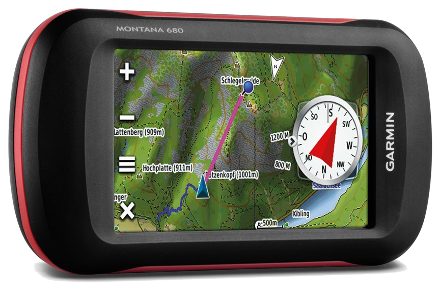
Plan a Trip Use BaseCamp to plan your next hiking, biking, motorcycling, driving or off-roading trip. You can view maps, plan routes, and mark waypoints and tracks from your computer and then transfer them to your device. Track Draw feature lets you trace your planned...
GPS coordinates and fishing information for Lake Travis The following GPS coordinates are provided for general reference. THEY ARE NOT TO BE USED FOR NAVIGATION GPS Waypoints for Lake Travis: Submitted by David A. McClung GPS Waypoints start at the dam and work up the...
GPS coordinates and fishing information for Toledo Bend South The following GPS coordinates are provided for general reference. THEY ARE NOT TO BE USED FOR NAVIGATION GPS Waypoints for Toledo Bend South : Submitted by David A. McClung GPS Waypoints generally start at...
GPS coordinates and fishing information for Toledo Bend North The following GPS coordinates are provided for general reference. THEY ARE NOT TO BE USED FOR NAVIGATION GPS Waypoints for Toledo Bend North: Submitted by David A. McClung GPS Waypoints start at the very...
GPS coordinates and fishing information for Sam Rayburn Lake The following GPS coordinates are provided for general reference. THEY ARE NOT TO BE USED FOR NAVIGATION Waypoints for Sam Rayburn Lake: Submitted by David A. McClung Waypoints are in no particular order....
GPS coordinates and fishing information for Possum Kingdom Lake The following GPS coordinates are provided for general reference. THEY ARE NOT TO BE USED FOR NAVIGATION Waypoints for Possum Kingdom Lake Submitted by David A. McClung Waypoints start at the Brazos River...
GPS coordinates and fishing information for Lake Whitney The following GPS coordinates are provided for general reference. THEY ARE NOT TO BE USED FOR NAVIGATION GPS Waypoints for Lake Whitney: Submitted by David A. McClung The points are generally in the water, just...
GPS coordinates and fishing information for Lake Texoma The following GPS coordinates are provided for general reference. THEY ARE NOT TO BE USED FOR NAVIGATION GPS Waypoints for Lake Texoma: Submitted by David A. McClung GPS Waypoints start at the center of the lake...
GPS coordinates and fishing information for Richland Chambers Lake The following GPS coordinates are provided for general reference. THEY ARE NOT TO BE USED FOR NAVIGATION GPS Waypoints for Richland Chambers Lake: Submitted by David A. McClung GPS Waypoints for...
GPS coordinates and fishing information for Lake Fork The following GPS coordinates are provided for general reference. THEY ARE NOT TO BE USED FOR NAVIGATION GPS Waypoints for Lake Fork: Submitted by David A. McClung GPS Waypoints start at the east end of the dam and...
GPS coordinates and fishing information for Lake Conroe The following GPS coordinates are provided for general reference. THEY ARE NOT TO BE USED FOR NAVIGATION GPS Waypoints for Lake Conroe: Submitted by David A. McClung GPS Waypoints start at the West Fork of the...
GPS coordinates and fishing information for Lake Bucannan The following GPS coordinates are provided for general reference. THEY ARE NOT TO BE USED FOR NAVIGATION GPS Waypoints for Lake Buchanan: Submitted by David Guercio GPS Waypoints start at the dam and work up...
GPS coordinates and fishing information for Lake Belton The following GPS coordinates are provided for general reference. THEY ARE NOT TO BE USED FOR NAVIGATION GPS Waypoints for Lake Belton: Submitted by David A. McClung Lake Belton is a typical mountain lake. Most...
GPS coordinates and fishing information for Kentucky Lake The following GPS coordinates are provided for general reference. THEY ARE NOT TO BE USED FOR NAVIGATION Waypoints for Kentucky Lake Submitted by David A. McClung Waypoints start at the dam and generally work...