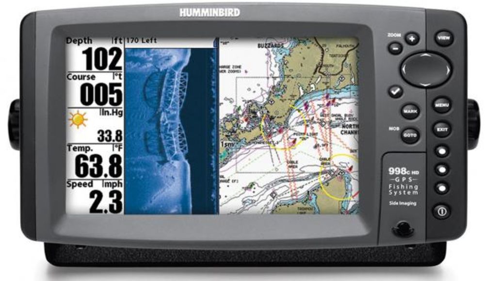
GPS coordinates and fishing information for Lake Bucannan
The following GPS coordinates are provided for general reference.
THEY ARE NOT TO BE USED FOR NAVIGATION
GPS Waypoints for Lake Buchanan:
Submitted by David Guercio
GPS Waypoints start at the dam and work up the lake.
In the vicinity of Lake Buchanan 1 minute latitude equals about 1.15 statute miles (5280 feet) or 1.01 nautical miles (6000 feet) and 1 minute longitude equals about .99 statute miles or 0.87 nautical miles. Therefore, one tenth of a minute is about 600 feet and one hundreth of a minute is about 60 feet in either latitude or longitude. The points indicated here should be within about 60 feet of actual points on the ground. This is roughly the same as the estimated position error (EPE) available from the GPS system.
The points are generally in the water, just off of the topographical feature indicated. The GPS Waypoints will help you know where you are on the lake.
Extreme CAUTION should be used when navigating to the points. USE THIS INFORMATION AT YOUR OWN RISK!
N 30 44.819 W 98 26.260 Buchanan Dam Visitor’s Center (Coke machine only)
N ?? ??.??? W ?? ??.??? The Edgewater Marina. (Will somebody please supply this one? I missed it.)
N 30 45.992 W 98 27.149 Llano County Park (Free boat ramp/park, wind warning light)
N 30 46.058 W 98 24.515 Burnet County Park (No boat ramp, wind warining light, picnic facilities)
N 30 50.404 W 98 20.554 Thunderbird Resort (Gas, restrooms, boat ramp)
N ?? ??.??? W ?? ??.??? Burnet County Park Wind Warning Light about halfway up the lake. (Will somebody please supply this one? I missed it.)
N 30 51.296 W 98 25.993 Paradise Point. (Food, Gas, Bait)
N ?? ??.??? W ?? ??.??? Silver Creek Lodge (Gas, restrooms,boat ramp) (Will somebody please supply this one? I missed it.)
N 30 52.145 W 98 26.160 Fisherman’s Wharf Restaurant/Marina.
N 30 52.101 W 98 27.054 Cedar Point Primitive Area Boat Ramp (Camping, wind warning light)


0 Comments