GPS coordinates and fishing information for Lake Travis
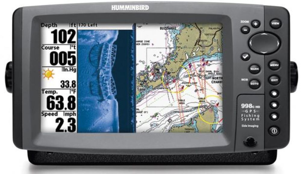
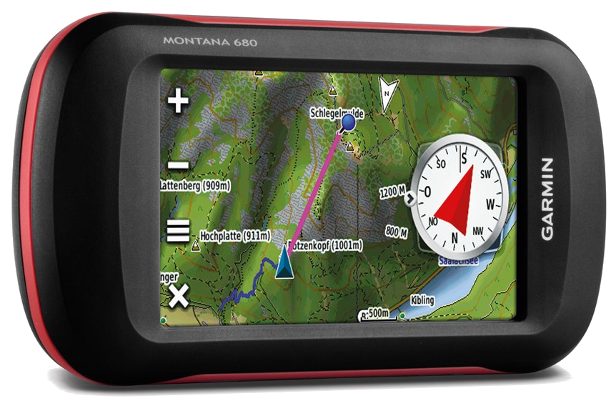
The following GPS coordinates are provided for general reference.
THEY ARE NOT TO BE USED FOR NAVIGATION
GPS Waypoints for Lake Travis:
Submitted by David A. McClung
GPS Waypoints start at the dam and work up the lake. Each entry starts with Lat/Lon, then
waypoint name for the GPS receiver followed by a description of the waypoint. Note that
the naming convention used is the first letter of the lake name is the first letter of the
waypoint. All points here are named T????? This keeps all of the Lake Travis points
together in my receiver. All lake points end in P or PT; all creek entrances, coves, and
canyon entrances end in C; and any marinas end in M.
In the vicinity of Lake Travis 1 minute latitude equals about 1.15 statute miles (5280
feet) or 1.01 nautical miles (6000 feet) and 1 minute longitude equals about .99 statute
miles or 0.87 nautical miles. Therefore, one tenth of a minute is about 600 feet and one
hundreth of a minute is about 60 feet in either latitude or longitude. The points
indicated here should be within about 60 feet of actual points on the ground. This is
roughly the same as the estimated position error (EPE) available from the GPS system.
The points are generally in the water, just off of the topographical feature indicated.
The GPS Waypoints will help you know where you are on the lake. Extreme CAUTION
should be used when navigating to the points. USE THIS INFORMATION AT YOUR OWN RISK!
N 30 23.79 W 97 54.19 TRMPMD – Ramp at Mansfield Dam recreation area
N 30 24.12 W 97 54.57 TDAMC – cove to the west just north of the Mansfield Dam Rec.
Area
N 30 23.79 W 97 52.94TDEFTC – Defeat Cove and entrance to Marshall Ford Marina
N 30 24.66 W 97 54.19 TWNDYP – Windy Point
N 30 25.27 W 97 54.16 TCYPRC – Entrance to Cypress Creek
N 30 25.93 W 97 52.87 TANDRM – Anderson Mill Marina in Cypress Creek
N 30 25.46 W 97 54.29 TARWHP – Arrowhead Point
N 30 25.64 W 97 54.26 TMACS – Entrance to Macks Canyon
N 30 25.82 W 97 54.53 TGUNH – Entrance to Gun Hollow
N 30 25.33 W 97 55.08 TBEACC – Entrance to Beacon Cove
N 30 25.45 W 97 55.07 TPOOLC – Entrance to Pool Canyon
N 30 25.78 W 97 55.25 TUFLOT – U FLOTE M
N 30 26.33 W 97 55.26 TSTRNI – Starnes Island at entrance to Big Sandy Creek
N 30 27.44 W 97 55.71 TLONGC – Entrance to Long Canyon in Big Sandy Creek
N 30 27.93 W 97 55.20 TBARLC – Entrance to Barrel Hollow in Big Sandy Creek
N 30 28.28 W 97 54.55 TFSHRH – Entrance to Fisher Hollow in Big Sandy Creek
N 30 28.79 W 97 55.19 TGRGGH – Entrance to Gragg Hollow in Big Sandy Creek
N 30 29.24 W 97 55.37 TCOLRH – Entrance to Collier Hollow in Big Sandy Creek
N 30 26.50 W 97 56.61 TDVLSH – Entrance to Devils Hollow
N 30 25.86 W 97 56.67 TWBCHC – Entrance to West Beach Cove
N 30 26.18 W 97 57.19 TMSSYH – Entrance to Mossy Hollow (Any hydrilla here??)
N 30 25.58 W 97 57.62 TCTNWH – Entrance to Cottonwood Hollows
N 30 25.09 W 97 57.45 THTTRC – Entrance to Hatter Cove
N 30 24.73 W 97 57.02 TCNGHC – Entrance to Cunningham Cove
N 30 24.31 W 97 57.02 TRARKB – Ramp at Arkansas Bend
N 30 23.40 W 97 57.42 THRSTC – Entrance to Hurst Creek Arm
N 30 23.49 W 97 57.66 TGVYDP – Graveyard Point
N 30 23.82 W 97 58.30 TNRTHC – Major Cove to the north, northwest of Graveyard
Point, across lake
N 30 22.61 W 97 59.04 TLKWYC – Entrance to Lakeway cove and marina
N 30 22.84 W 97 59.43 TVNTRM – Point Venture Marina
N 30 22.43 W 98 01.07 TANDRB – Channel in Anderson Bend
N 30 22.61 W 98 01.21 TBEEC – Entrance to Bee Creek
N 30 23.26 W 98 00.89 TSSTAC – Entrance to Siesta Shore’s Cove
N 30 23.74 W 98 00.36 TSNDRC – Entrance to Schneider’s Cove
N 30 24.08 W 97 59.89 TEDGWC – Entrance to Edgewater Beach Cove
N 30 24.61 W 97 59.26 TCLSCP – Calcasieu Point
N 30 24.79 W 97 59.06TTHRMB – Channel in Therman Bend
N 30 25.11 W 97 59.26 TPOOLP – Pool Point
N 30 24.86 W 98 01.35 TM22 – Mile Marker 22
N 30 25.13 W 98 02.27 TCATH – Entrance to Cat Hollow
N 30 25.74 W 98 02.13 T24WC – Cove to the west just south of Mile Marker 24
N 30 25.93 W 98 01.92 TM24 – Mile Marker 24
N 30 26.46 W 98 01.19 TISLND – Island on Lake Travis
N 30 27.15 W 98 00.62 TM26 – Mile Marker 26
N 30 27.88 W 97 59.73 TLGVSM – Entrance to Cove with Lago Vista Marina
N 30 28.52 W 98 00.06 TTURNC – Entrance to Turn Back Canyon
N 30 29.04 W 98 00.75 TCOWC – Entrance to Cow Creek
N 30 27.97 W 98 01.80 T30WC – Cove to the west just south of Mile Marker 30
N 30 25.86 W 98 03.52 TPEDRV – Entrance to Pedernales River
N 30 23.37 W 98 04.97 T71BDG – Highway 71 Bridge over the Pedernales River
N 30 27.33 W 98 03.32 TM36 – Mile Marker 36
N 30 27.88 W 98 03.88 T36NC – Cove to the north at Mile Marker 37
N 30 27.80 W 98 04.96 TM38 – Mile Marker 38
N 30 28.34 W 98 05.76 TREDBC – Entrance to Red Bluff Creek
N 30 30.12 W 98 05.40 T41NC – Cove to the north just west of Mile Marker 41
N 30 29.86 W 98 06.42 T42WC – Cove to the west just west of Mile Marker 42
N 30 29.41 W 98 07.89 T44SWC- Cove to the southwest just west of Mile Marker 44
N 30 30.69 W 98 008.06 TM46 – Mile Marker 46
N 30 31.57 W 98 07.08 T48EC – Cove to the east just south of Mile Marker 48
N 30 32.51 W 98 07.59 THICKC – Entrance to Hickory Creek about Mile Marker 49
N 30 32.08 W 98 08.14 T50WC – Cove to the west just north of Mile Marker 50
N 30 31.61 W 98 08.31 TM50 – Mile Marker 50
N 30 33.36 W 98 15.33TMFDAM – Dam at Marble Falls
I have not verified all of these point on the water so would appreciate feedback from the
users. Feel free to email me at dmcclung@arlut.utexas.edu.
David A. McClung
email: dmcclung@arlut.utexas.edu


